
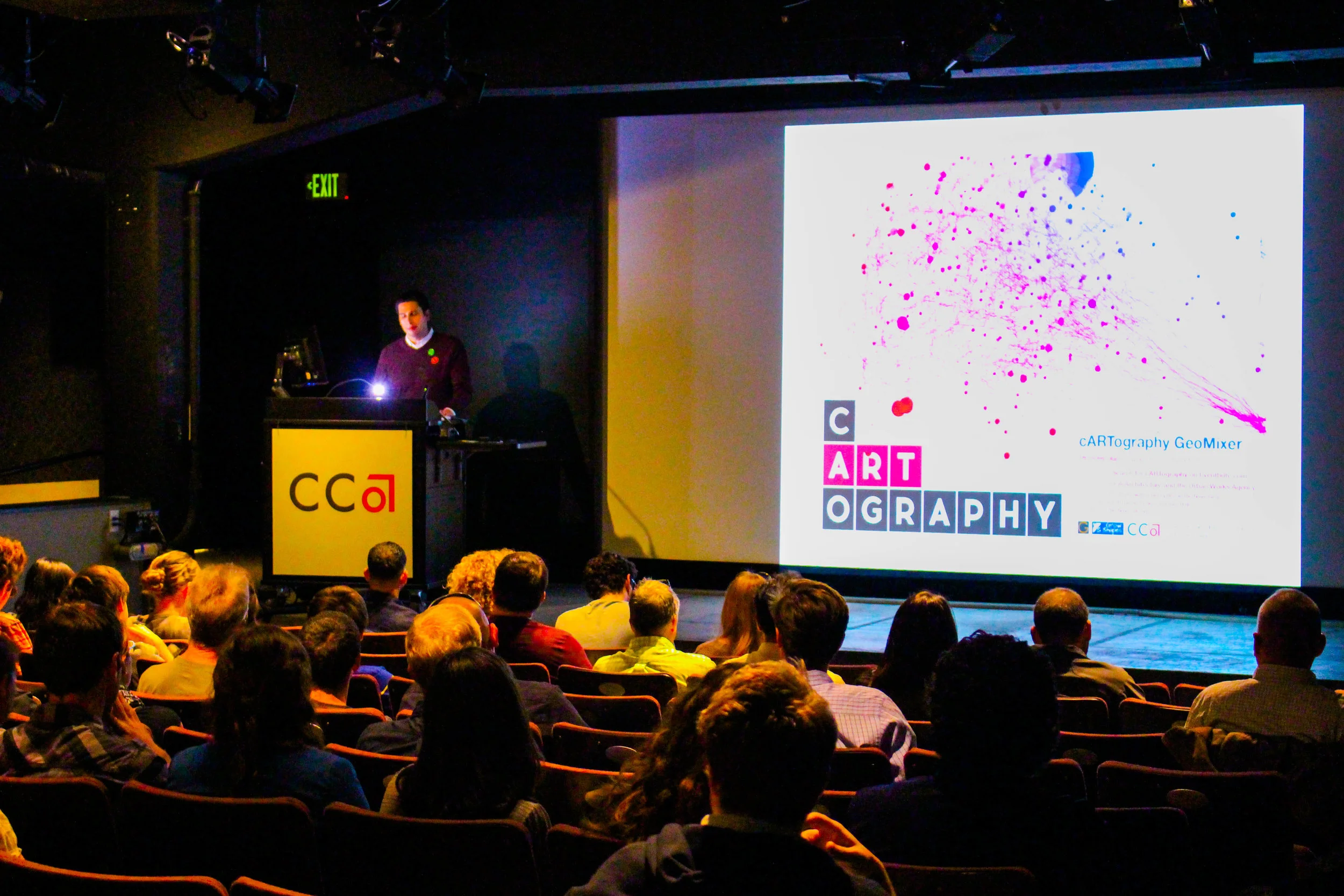
Event:cARTography GeoMixer
Date:June 19 5:30 PM @ the California College of the Arts
What makes a map so universally interesting? Is there something hidden, something special, lurking behind those points and polygons? When does a map become art – and how does art influence cartography? We invite you to explore the various intersections between cartography and art at the GIS Education Center’s cARTography GeoMixer. Guest speakers include artists keen on maps and cartographers keen on aesthetics. There will be storytellers, D3 creators, artists and designers – mapmakers who explore the dynamic designs of maps which balance both utility and artistry. Each map/art piece and mapmaker/artist has a story to tell. Share in their stories, and add yours to the mix!
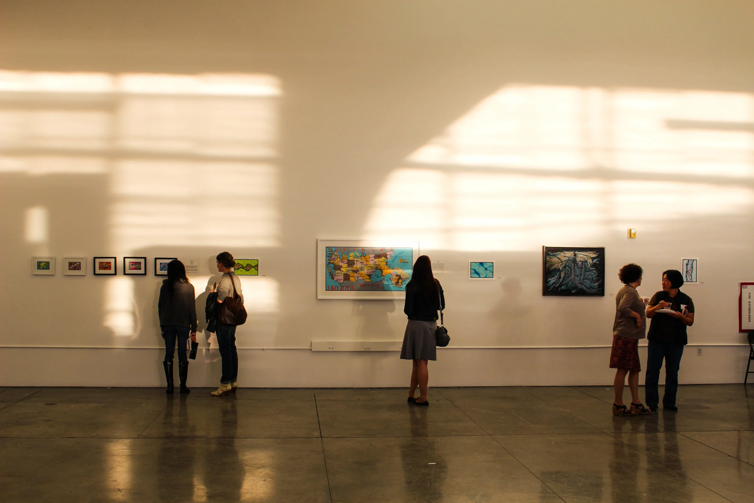
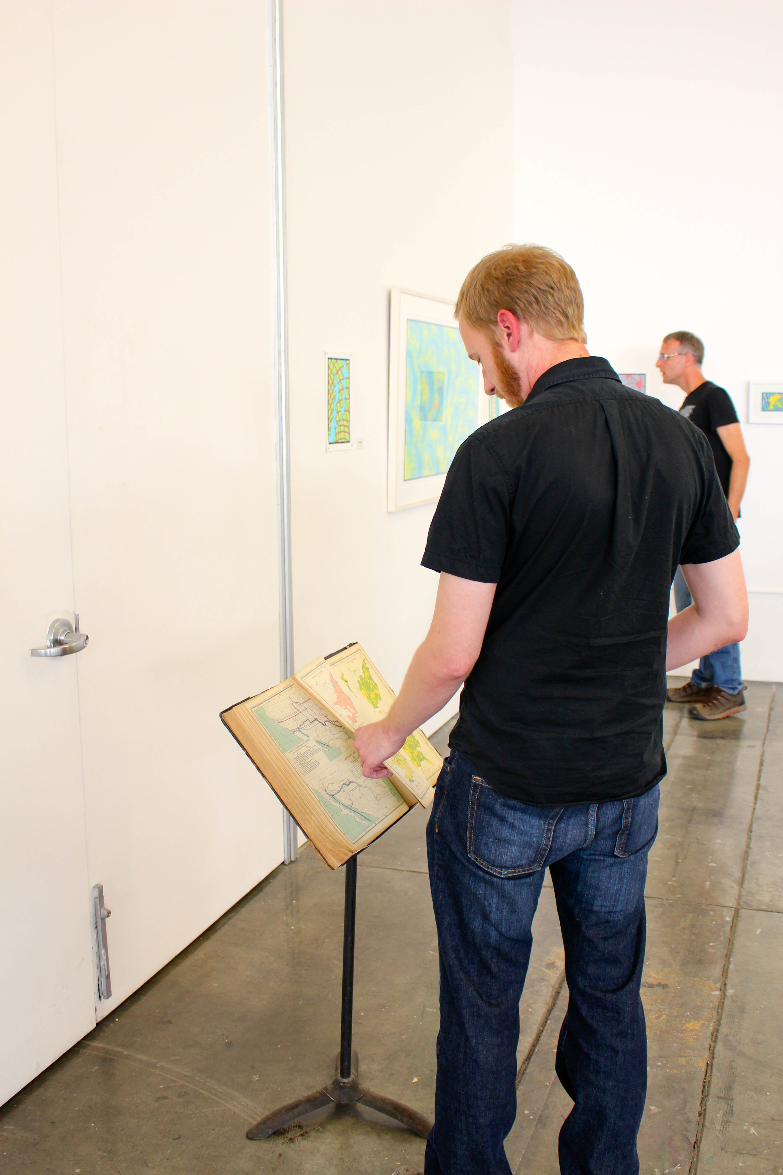
In addition to our special guests, you will have time to browse a map & art gallery and meet and mingle with representatives of Bay Area organizations, users groups and Meetups, all while enjoying a light dinner and beverages.
GeoMixers are a production of the non-profit GIS Education Center. The cARTography GeoMixer is hosted by the Urban Works Agency of California College of the Arts and is sponsored in part by GrowShapes LLC, an expert in emerging 3D printing and scanning technologies. Sustenance by Guerrilla Catering & Barbary Coast Beverage Catering.
Meet the GISEC’s special guests who will be presenting or have their art exhibited at the cARTography GeoMixer on 6/19/2014 Hope to see you then….
Ruth Askevold: Finding clues on the map: stories about forgotten landscapes.
Ruth skevold is a Senior Project Manager at the San Francisco Estuary Institute, where she manages the Resilient Landscapes Program. She is experienced in using historical maps and photographs to assist in visualizing the past, and currently directs and designs Resilient Landscapes publications and educational material at SFEI. In 2013, she collaborated with the Oakland Museum of California in a major exhibition about the Bay. She received her master’s degree from San Francisco State University in Geography and Human Environmental Studies, where she specialized in geographic information systems and historical geography. She has over twenty years of experience in geographic information systems, remote sensing, and cartography.
Chris Henrick: The narrative capabilities of web and experimental cartography.
Chris Henrick currently lives in Brooklyn, NY and is a graduate student pursuing an MFA in Design and Technology at Parsons, The New School For Design in New York City. Recently he began assisting CartoDB with improving their open-source web-mapping and GIS cloud based platform. Prior to attending Parsons he worked as a Cartographer and GIS specialist at Avalon Travel Publishing in Berkeley, CA and as a GIS intern at GreenInfo Network in San Francisco, CA. Additionally Chris has performed consultant work for the Oakland Museum of California, as well as for independent and self-published authors. His undergraduate degree is in Geography and Urban Studies, from Temple University in Philadelphia, PA. At Parsons Chris is broadening his technical skills in web-development and web-design with a focus on user experience and education relating to open-source web-mapping. Chris also helps organize and facilitate Maptime NYC, a local chapter of a nation wide group that is dedicated to educating non-experts about GIS, cartography and interactive web-mapping.
Olivia Jackson: Maps that move.
Olivia Jackson is an artist and programmer based out of Oakland, CA. She has created interactive maps for the Anti-Eviction Mapping Project, Oakland Museum of California, and Stanford’s Spatial History Lab. She graduated from Stanford University with a B.S. in Product Design and a minor in Computer Science.
Darin Jensen, Introduction
Darin Jensen is the staff cartographer and cartography and GIS instructor in the Department of Geography at UC Berkeley. Jensen’s cartographic practice and pedagogy is rooted in the concept of the map as a narrative device; fusing traditional cartography, infographics, poster art, and journalistic text blocking, every map tells a story. He employs methods of experiential learning and engaged scholarship to guide his students toward insightful and salient representations of place. Mission Possible: A Neighborhood Atlas exemplifies these ideas (missionpossiblesf.org). He is currently working with students to map a variety of cultural, environmental, and temporal aspects of International Boulevard in Oakland. He has experimented with crowd sourcing data and maps, and crowd funding for publishing with his latest work, Food: An Atlas (guerrillacartography.net).
Scott Murray: What Happens When Maps Become Software.
Scott Murray is a code artist who writes software to create data visualizations and other interactive phenomena. His work incorporates elements of interaction design, systems design, and generative art. Scott is an Assistant Professor of Design at the University of San Francisco, a contributor to Processing, and author of Interactive Data Visualization for the Web: An Introduction to Designing with D3.Scott earned an A.B. from Vassar College and an M.F.A. from the Dynamic Media Institute at the Massachusetts College of Art and Design. His work can be seen at alignedleft.com.
Lordy Rodriguez: Maps as Muse.
Lordy Rodriguez was born in 1976 in the Philippines, raised in Louisiana and Texas, and currently lives in Hayward, CA. He obtained his B.F.A. degree in 1999 from the School of Visual Arts in New York City and his MFA degree from Stanford University in 2008. For almost two decades he has been working on a series of hand-made ink drawings that uses cartography as a major point of appropriation to examine the structure of visual languages in relation to culture, history, and identity. His recent exhibitions include Code Switcha, Hosfelt gallery San Francisco, CA (2013), “The Map is Not the Territory”, Hosfelt gallery New York, New York (2011), Surface Depths, Nevada Art Museum (2009), States of America, Austin Museum of Art (2009), Optimism in the Age of Global War, 10th Annual Istanbul Biennial, Istanbul, Turkey, (2007), The California Bienniala, Orange County Museum of Art, Newport Beach, California (2006), Dessins et des autres, Galerie Anne de Villepoix, Paris, France (2004).
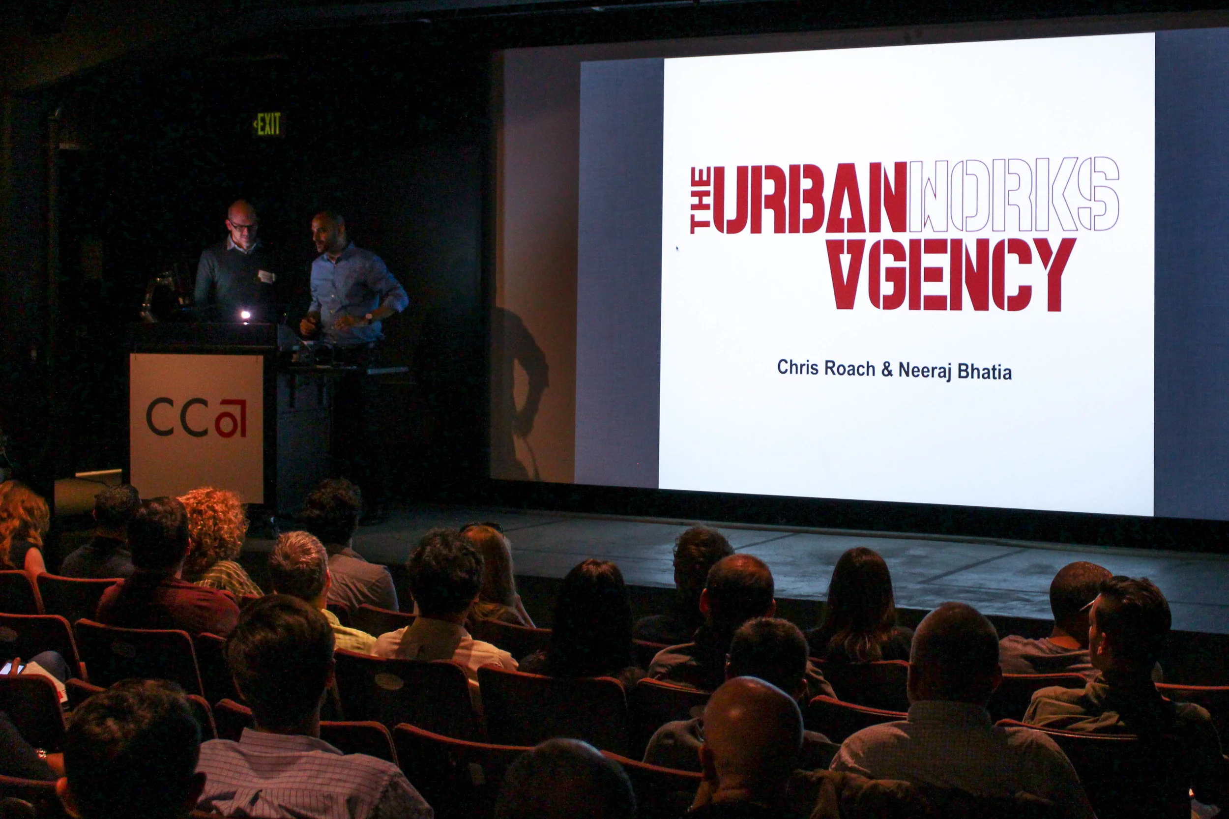
Urban Works Agency – Neeraj Bhatia & Christopher Roach: Creating design-agency.
Neeraj Bhatia is an Urban Designer and Licensed Architect whose work resides at the intersection of politics, infrastructure and urbanism. He is a co-director of the non-profit research collective, InfraNet Lab, founder of the design practice, The Open Workshop, and Assistant Professor of Architecture at The California College of the Arts where he is co-coordinator of the The Urban Works Agency. Prior to joining CCA he was a visiting professor at Cornell University, Wortham Fellow at Rice University as well as a lecturer at The University of Toronto and University of Waterloo. He is co-editor of The Petropolis ofTomorrow, Bracket [Goes Soft], Arium: Weather + Architecture and co-author of Pamphlet Architecture 30: Coupling – Strategies for Infrastructural Opportunism
Christopher A. Roach is a San Francisco based architect and urbanist with over 15 years of experience in the profession and a deep commitment to both the craft and the intellectual ambition of architecture. He is founder and principal of Studio VARA, a San Francisco-based practice working at the intersection of architecture and urbanism, and has engaged with a wide range of projects types, from custom residences and affordable housing to commercial offices and academic institutions. He holds a Bachelor of Architecture with Honors from the University of Texas at Austin, and Master of Architecture in Urban Design with distinction from the Harvard Graduate School of Design. Christopher received several awards for his work at Harvard, including the Urban Design Thesis Prize and the Gerald M. McCue Medal. In addition to his forthcoming bookEdutopias: The Utopian Geography of Education, Christopher co-authored The Networked Practice with Jarrad Morgan and RioOlympics with Victor Mu oz Sanz, and has written for several publications including On Site and the ASLA blog Dirt. He is a long-time member of SPUR and an adjunct professor of architecture at CCA, where he teaches studios and seminars in the MArch and BArch programs. Christopher is co-coordinator of the URBANlab with Neeraj Bhatia.
Mark M. Garrett, Featured Artist
The scope of my work has morphed over a period of some 30 years from drawing to painting, from collage to assemblage and back again. I draw inspiration from a variety of sources that seem to find me more than I seek them out. In early 2011 I began to fold paper and ‘draw’ with scissors… particularly maps from Atlas’ culled from the flea market and garage sales. I incorporate watercolor as a extension of the color palette printed on the maps. More recently I’ve begun using similar cutting techniques, but with illustrated anatomy texts from the 1950’s. I’m also intrigued by the variability of water and mirrored surfaces as a metaphorical and literal tool for reflection in both my drawings and assembled constructions. I completed a BFA in 1985 @ Memphis Academy of Art, & have been making work progressively over the decades. I’ve intensified this journey in the last five years.